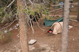
Our campsite at the Glen Aulin High Sierra Camp, Yosemite National Park (37°54'33.4'' N, 119°25'7.3'' W, 2400 m)
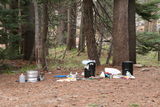
Our kitchen at the Glen Aulin High Sierra Camp, Yosemite National Park (37°54'33.4'' N, 119°25'7.3'' W, 2400 m)
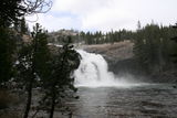
Waterfall at the Glen Aulin High Sierra Camp, Yosemite National Park
Rodent visitor at the Glen Aulin High Sierra Camp, Yosemite National Park
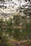
Lake at Falls Ridge, Yosemite National Park (37°54'7.5'' N, 119°25'52.4'' W, 2409 m)
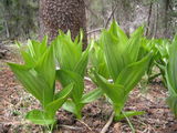
Plant at Falls Ridge, Yosemite National Park (37°53'55.9'' N, 119°26'7.7'' W, 2642 m)
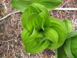
Plant at Falls Ridge, Yosemite National Park (37°53'56.0'' N, 119°26'6.5'' W, 2572 m)
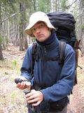
Checking the GPS readings near Falls Ridge, Yosemite National Park (37°53'56.3'' N, 119°26'4.4'' W, 2469 m)
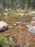
We need to cross Cathedral Creek here (37°53'36.5'' N, 119°26'31.7'' W, 2401 m)
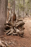
Tree trunk near Cathedral Creek (37°53'36.8'' N, 119°26'32.4'' W, 2388 m)
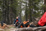
Break north of Polly Dome, east of Tuolumne Peak (37°52'55.0'' N, 119°27'3.5'' W, 2547 m)
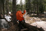
Crossing a small stream north of Polly Dome, east of Tuolumne Peak (37°52'31.5'' N, 119°27'27.8'' W, 2594 m)
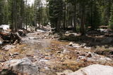
Crossing a small stream north of Polly Dome, east of Tuolumne Peak (37°52'31.6'' N, 119°27'27.8'' W, 2578 m)
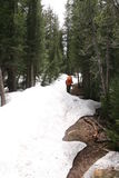
Snow packs in our way, Yosemite National Park (37°52'28.6'' N, 119°27'31.3'' W, 2604 m)
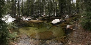
Small pond near Polly Dome Lakes, Yosemite National Park (37°52'18.6'' N, 119°27'41.9'' W, 2625 m)

Small pond near Polly Dome Lakes, Yosemite National Park (37°52'18.7'' N, 119°27'42.1'' W, 2626 m)
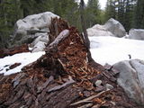
Rotting tree trunk near Polly Dome Lakes, Yosemite National Park (37°52'14.1'' N, 119°27'45.8'' W, 2642 m)
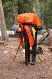
Junction northwest of Polly Dome Lakes, Yosemite National Park (37°52'10.1'' N, 119°27'44.7'' W, 2649 m)
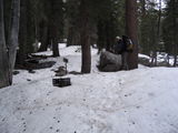
Finding the right trail gets difficult in the snow, Yosemite National Park (37°52'2.8'' N, 119°28'5.6'' W, 2650 m)

Climbing up towards May Lake, Yosemite National Park (37°51'19.7'' N, 119°28'21.3'' W, 2704 m)
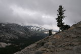
Climbing up towards May Lake, Yosemite National Park (37°51'16.6'' N, 119°28'21.8'' W, 2728 m)
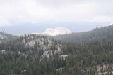
Climbing up towards May Lake, Yosemite National Park (37°51'16.7'' N, 119°28'21.7'' W, 2725 m)

Climbing up towards May Lake, Yosemite National Park (37°51'13.8'' N, 119°28'23.9'' W, 2754 m)
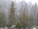
Snow in June in the High Sierras, Yosemite National Park (37°51'14.8'' N, 119°28'56.7'' W, 2726 m)
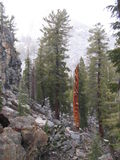
Approaching May Lake, Yosemite National Park (37°51'15.2'' N, 119°29'8.6'' W, 2815 m)

May Lake near sunset, Yosemite National Park (37°50'50.2'' N, 119°29'23.1'' W, 2874 m)