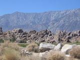
Whitney Portal Road (36°35'43.3'' N, 118°6'27.6'' W, 1358 m)
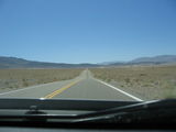
Heading towards Death Valley (36°27'28.8'' N, 117°50'39.2'' W, 1117 m)

Looking south at Zabriskie Point, Death Valley National Park (36°25'14.0'' N, 116°48'41.2'' W, 207 m

Looking north at Zabriskie Point, Death Valley National Park (36°25'12.4'' N, 116°48'44.5'' W, 218 m)
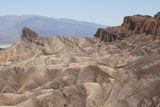
Zabriskie Point, Death Valley National Park (36°25'12.4'' N, 116°48'44.4'' W, 217 m)

Looking west at Zabriskie Point, Death Valley National Park (36°25'11.9'' N, 116°48'44.4'' W, 216 m)

Ben's 360° panoramic view at Zabriskie Point, Death Valley National Park (36°25'11.9'' N, 116°48'44.4'' W, 215 m)
Friederike's 360° panoramic view at Zabriskie Point, Death Valley National Park (36°25'12.2'' N, 116°48'44.0'' W, 217 m)

360° panoramic view at Dante's View, Death Valley National Park (36°13'4.1'' N, 116°43'45.2'' W, 1653 m)
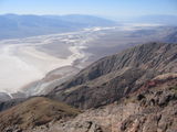
Looking down into Death Valley from Dante's View (36°13'4.1'' N, 116°43'45.2'' W, 1652 m)

Looking down into Death Valley from Dante's View (36°13'4.1'' N, 116°43'45.2'' W, 1651 m)
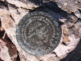
USGS mark (they forgot to put the elevation on it) at Dante's View, Death Valley National Park (36°13'34.6'' N, 116°43'31.8'' W, 1737 m)

360° panoramic view a bit south of Dante's View, Death Valley National Park (36°13'35.2'' N, 116°43'31.2'' W, 1738 m)
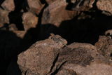
Lizard at Dante's View, Death Valley National Park (36°13'35.1'' N, 116°43'31.0'' W, 1735 m)
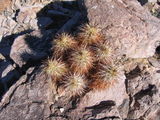
Cactus at Dante's View, Death Valley National Park (36°13'35.1'' N, 116°43'31.1'' W, 1737 m)
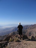
Ben at Dante's View, Death Valley National Park (36°13'35.1'' N, 116°43'31.2'' W, 1739 m)
Sign indicating the sea level, Badwater Basin, Death Valley National Park (36°13'47.2'' N, 116°46'2.9'' W, -82 m)
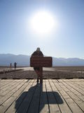
Ben at Badwater Basin, Death Valley National Park (36°13'47.7'' N, 116°46'3.9'' W, -88 m)
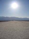
Badwater Basin, Death Valley National Park (36°13'47.7'' N, 116°46'5.5'' W, -91 m)
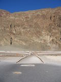
Badwater Basin, Death Valley National Park (36°13'47.7'' N, 116°46'5.5'' W, -89 m)
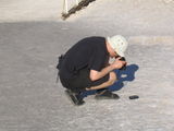
Ben trying to take a picture of his GPS unit showing 85 meters below sea level (36°13'47.6'' N, 116°46'5.5'' W, -88 m)
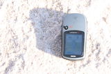
Ben's GPS unit showing 85 meters below sea level (36°13'47.7'' N, 116°46'5.5'' W, -85 m)
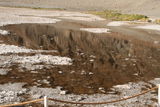
Badwater Basin, Death Valley National Park (36°13'47.8'' N, 116°46'3.9'' W, -111 m)
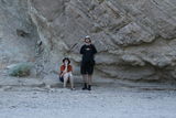
Friederike and Ben in the Golden Canyon, Death Valley National Park (36°25'20.7'' N, 116°50'31.7'' W, -10 m)
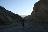
Golden Canyon, Death Valley National Park (36°25'21.1'' N, 116°50'33.0'' W, -14 m)
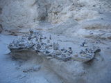
Stone piles in Golden Canyon, Death Valley National Park (36°25'16.6'' N, 116°50'45.5'' W, -35 m)
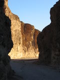
Golden Canyon, Death Valley National Park (36°25'16.7'' N, 116°50'45.9'' W, -41 m)
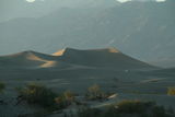
Sand dunes, Death Valley National Park (36°36'19.4'' N, 117°6'40.5'' W, 3 m)
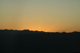
Sunset in Death Valley National Park (36°21'2.5'' N, 117°17'51.5'' W, 1123 m)
Night sky at Panamint Springs, Death Valley National Park