
Our camp site at Merced Lake High Sierra Camp, Yosemite National Park (37°44'27.2'' N, 119°24'25.4'' W, 2185 m)
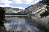
Merced Lake, Yosemite National Park (37°44'20.6'' N, 119°25'2.4'' W, 2192 m)
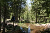
Flooded trail in Echo Valley, Yosemite National Park (37°44'37.8'' N, 119°25'56.7'' W, 2142 m)
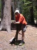
Break at trail fork in Echo Valley, Yosemite National Park (37°44'48.8'' N, 119°26'10.5'' W, 2122 m)
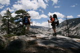
Nice view near Echo Valley, Yosemite National Park (37°44'51.8'' N, 119°26'19.4'' W, 2246 m)
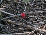
Flower or fungus?, Yosemite National Park (37°45'10.4'' N, 119°26'33.3'' W, 2093 m)

View from a plateau northwest of Echo Valley, Yosemite National Park (37°45'4.3'' N, 119°26'40.6'' W, 2346 m)
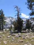
Tree on a plateau northwest of Echo Valley, Yosemite National Park (37°45'4.2'' N, 119°26'40.6'' W, 2348 m)
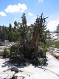
Tree trunk on a plateau northwest of Echo Valley, Yosemite National Park (37°44'55.8'' N, 119°26'58.4'' W, 2322 m)
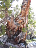
Tree trunk on a plateau northwest of Echo Valley, Yosemite National Park (37°44'55.8'' N, 119°26'58.4'' W, 2322 m)
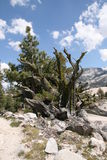
Tree trunk on a plateau northwest of Echo Valley, Yosemite National Park (37°44'57.8'' N, 119°27'10.7'' W, 2308 m)

Panoramic view from a plateau northwest of Echo Valley, Yosemite National Park (37°44'57.8'' N, 119°27'10.6'' W, 2309 m)
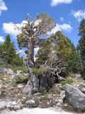
Tree on a plateau northwest of Echo Valley, Yosemite National Park (37°44'57.7'' N, 119°27'11.2'' W, 2315 m)
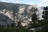
Looking down on Merced River and Bunnell Point, Yosemite National Park (37°45'3.0'' N, 119°27'23.1'' W, 2376 m)
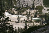
Looking down on Merced River and the trail to Merced Lake, Yosemite National Park (37°45'3.0'' N, 119°27'23.3'' W, 2379 m)
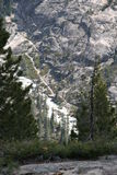
Merced River and the trail to Merced Lake, Yosemite National Park (37°45'5.8'' N, 119°27'26.6'' W, 2405 m)
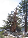
Tree north of Bunnell Point, Yosemite National Park (37°45'9.1'' N, 119°27'31.4'' W, 2396 m)
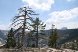
Half Dome in the background, Yosemite National Park (37°45'10.2'' N, 119°27'33.4'' W, 2399 m)
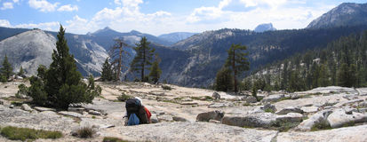
Mount Starr King and Half Dome in the background, Yosemite National Park (37°45'10.7'' N, 119°27'33.2'' W, 2405 m)
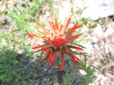
Flower, Yosemite National Park (37°45'10.9'' N, 119°27'32.8'' W, 2408 m)
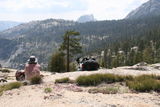
Half Dome in the background, Yosemite National Park (37°45'10.9'' N, 119°27'32.8'' W, 2404 m)
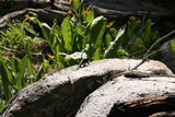
Lizard, Yosemite National Park (37°45'18.9'' N, 119°27'49.2'' W, 2404 m)
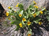
Flowers, Yosemite National Park (37°45'21.5'' N, 119°27'59.2'' W, 2408 m)
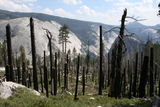
Signs of a forest fire, Yosemite National Park (37°45'21.5'' N, 119°27'59.3'' W, 2408 m)
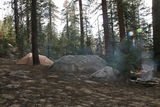
Our last campsite in Yosemite National Park (37°44'53.8'' N, 119°29'15.6'' W, 2347 m)
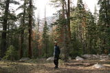
Ben gets ready for some serious pine cone juggling, Yosemite National Park (37°44'53.8'' N, 119°29'15.6'' W, 2347 m)
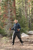
Ben does some serious pine cone juggling, Yosemite National Park (37°44'53.8'' N, 119°29'15.6'' W, 2347 m)
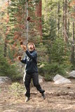
Ben does some serious pine cone juggling, Yosemite National Park (37°44'53.8'' N, 119°29'15.6'' W, 2347 m)
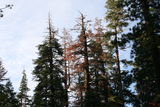
The last sun rays, Yosemite National Park (37°44'53.8'' N, 119°29'15.6'' W, 2347 m)