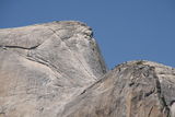
People finishing their climb up Half Dome, Yosemite National Park (37°44'39.1'' N, 119°30'26.6'' W, 2166 m)
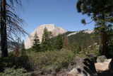
Half Dome, Yosemite National Park (37°44'39.1'' N, 119°30'26.6'' W, 2164 m)
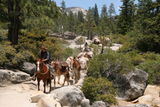
Horses and mules are the only means to transport goods here in Yosemite National Park (37°43'29.9'' N, 119°31'57.7'' W, 1812 m)
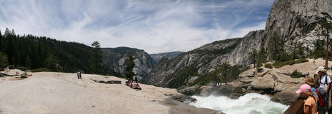
Panoramic view from the top of Nevada Fall, Yosemite National Park (37°43'29.2'' N, 119°31'59.3'' W, 1813 m)

Panoramic View on Half Dome, Mount Broderick, Liberty Cap, and Nevada Fall, Yosemite National Park (37°43'21.0'' N, 119°32'13.6'' W, 1827 m)
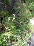
Flowers on the Panorama Cliff, Yosemite National Park (37°43'19.3'' N, 119°32'18.1'' W, 1771 m)
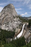
Liberty Cap and Nevada Fall, Yosemite National Park (37°43'19.4'' N, 119°32'18.4'' W, 1757 m)
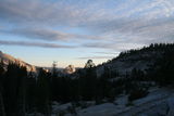
View on Half Dome from Olmsted Point, Yosemite National Park (37°51'49.4'' N, 119°21'59.5'' W, 2503 m)
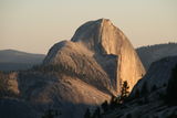
View on Half Dome from Olmsted Point, Yosemite National Park (37°51'49.4'' N, 119°21'59.5'' W, 2503 m)
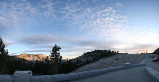
Olmsted Point, Yosemite National Park (37°51'49.4'' N, 119°21'59.5'' W, 2503 m)